Chu Yang Sin National Park
Alternative site name(s)
Chu Giang Sin
Province(s)
Dak Lak
Area
58,947 ha
Coordinates
12o14' – 12o31'N, 108o18' – 108o35'E
Distance(s)
From Buon Ma Thuot City
From Ho Chi Minh City
Eco-tours
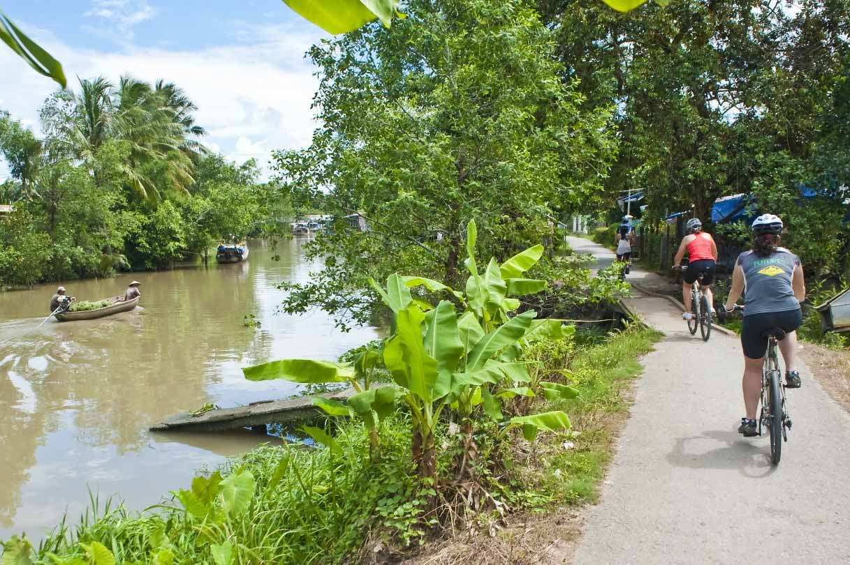
Bird watching. Contact us for more information
Topography and hydrology
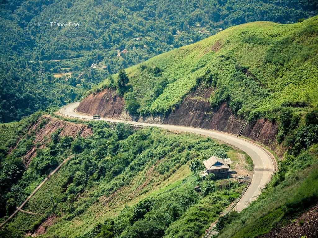
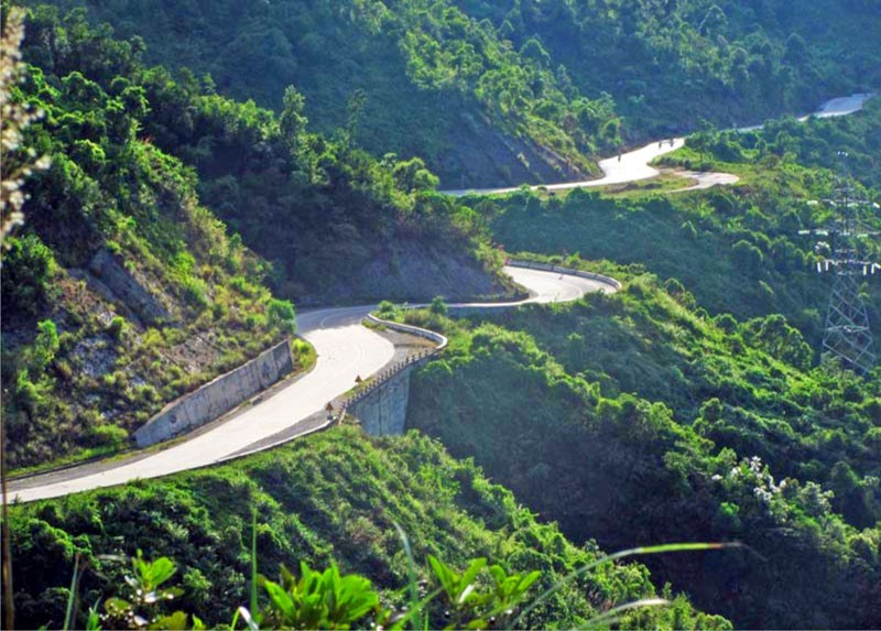
Chu Yang Sin National Park is located in Lak and Krong Bong districts, Dak Lak province, 60 km to the south-east of Buon Ma Thuot town. The national park encompasses a range of high mountains in the northern part of the Southern Annamite mountains. The national park is centred on Mount Chu Yang Sin, which, at 2,442 m, is the highest point in the southern Annamites. The topography of the national park is characterised by steep slopes and narrow valleys.
The north of Chu Yang Sin National Park is drained by the Ea K'tour and Ea Krong Kmao streams, which flow north to join the Ea Krong Ana river. Streams in the south of Chu Yang Sin flow into the Krong No river. Both the Ea Krong Ana and Krong No rivers flow west and north before joining the Srepok river, a major tributary of the Mekong River.
Biodiversity values
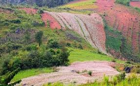
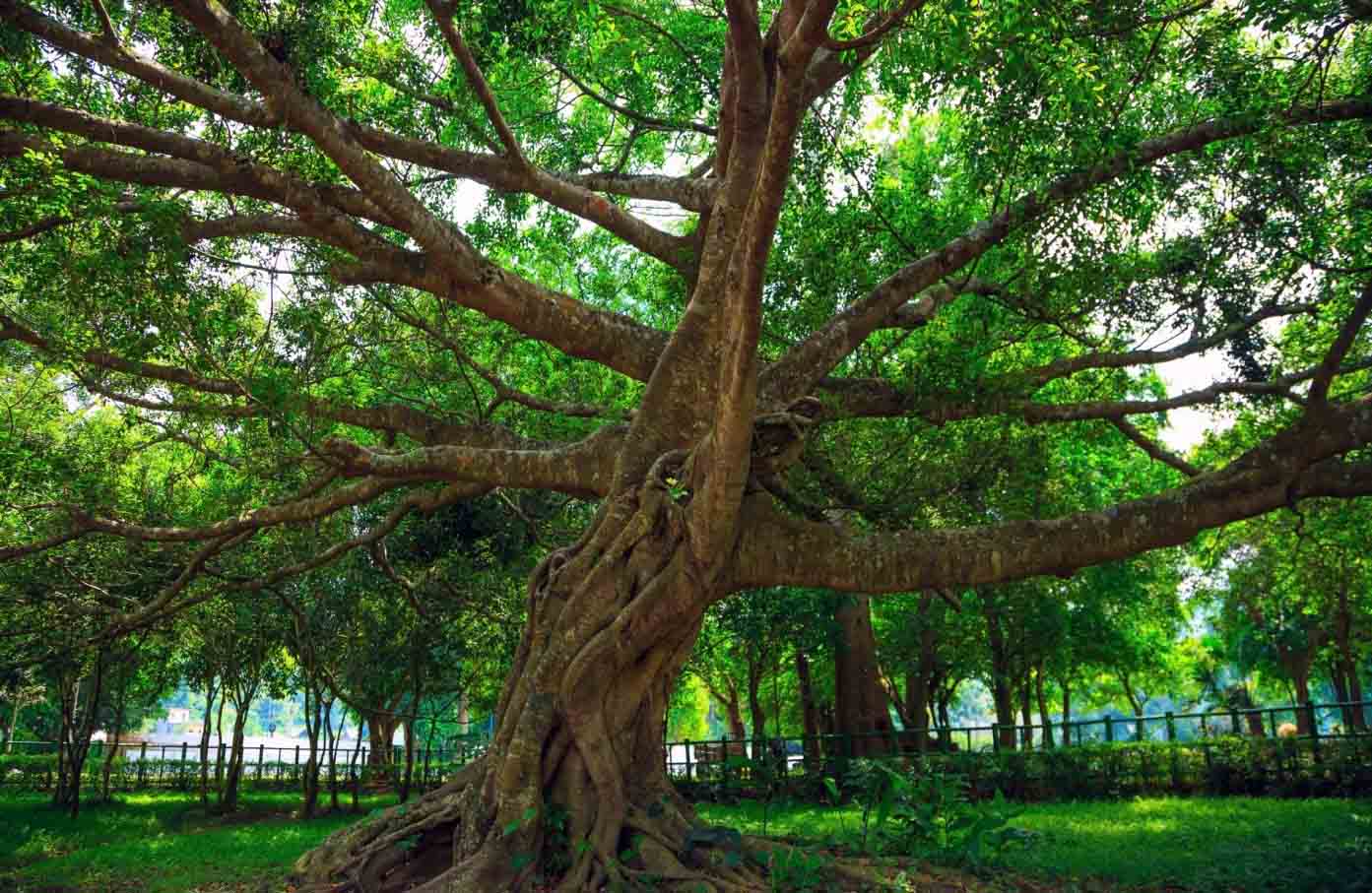
At elevations below 800 m, the national park supports lowland semi-evergreen forest, characterised by Lagerstroemia calyculata and Terminalia nigrovenulosa, and lowland evergreen forest, dominated by Hopea odorata, Dipterocarpus alatus and D. turbinatus. Montane evergreen forest is widely distributed above 800 m, and dominated by members of the Fagaceae and Lauraceae. Montane evergreen forest at Chu Yang Sin is also characterised by conifers, such as Pinus dalatensis, P. krempfii, P. kesiya var. langbianensis, Podocarpus imbricatus and Fokienia hodginsii. On mountain summits and ridge lines, elfin forest formations are distributed, dominated by Lyonia annamensis, L. ovalifolia and the dwarf bamboo Arundinaria sp. Coniferous forest, dominated by Pinus kesiya, occupies more than 10,600 ha of the national park. This is a secondary vegetation type that is formed in areas subject to periodic burning. A significant proportion of the national park supports bamboo forest, dominated by Oxytenanthera nigrociliata and Bambusa procera. Open secondary growth, scrub and grassland cover less than 1% of the total area of the national park.
Chu Yang Sin National Park is situated within the Da Lat Plateau Endemic Bird Area. Eight restricted-range bird species have been recorded at Chu Yang Sin: Germain's Peacock Pheasant Polyplectron germaini, Grey-crowned Crocias Crocias langbianis, Black-hooded Laughingthrush Garrulax milleti, Collared Laughingthrush G. yersini, White-cheeked Laughingthrush Garrulax vassali, Short-tailed Scimitar Babbler Jabouilleia danjoui, Grey-faced Tit Babbler Macronous kelleyi and Yellow-billed Nuthatch Sitta solangiae. The most important of these species, from a conservation perspective, is Grey-crowned Crocias, which is endemic to the Da Lat plateau and classified as globally endangered. Chu Yang Sin qualifies as an Important Bird Area.
A total of 46 mammal species have been recorded at Chu Yang Sin. Mammals of particular conservation significance recorded at the site include Black-shanked Douc Pygathrix nigripes and Yellow-cheeked Crested Gibbon Hylobates gabriellae.
Other documented values
Chu Yang Sin National Park has an important role in protecting the watershed of the Srepok river. The national park also has potential for ecotourism development, although this is currently not realised.
More guide...
Recommended & Reviewed by
Responsible Travel
Asia Travel News
CONTACT US
Address: Floor 11, Thai Holdings Building, No. 17 Tong Dan, Trang Tien Ward, Hoan Kiem District, Hanoi, Vietnam.Hotline: (+84)903278856
Email: info@crystalholidays.vn
TOP ADVENTURE TOURS
Adventures by Destinations
FANPAGE FACEBOOK
